

Inspired by a story about secluded towns, we set off from Linville on a sunny Sunday to see what we could find. Many of the “towns” we drove through were not much more than dots on the map, but the scenery was beautiful. Most of our drive was along gently rolling hills, at an elevation in the 2,500-2,800 range.

Much of our route ran along the border of NC and Virginia, and I’m going to start with our favorite of the day – our visit to “The Old Store” at Grassy Creek in Ashe County. Grassy Creek was the first rural Historic District to be added to the National Register of Historic Places. Settled in the 1800s, it was once a thriving community of cattle and dairy farmers. The wealthy Greer family settled and built up the area until just after World War I. When fortunes turned, the Greer family left in 1920 to pursue their dairy farming interests elsewhere. Grassy Creek settled into being a quiet agricultural area. At one point, the American Electrical Power Company threatened to flood the area by building a dam on the New River. That caused some preservationists to swing into action.


There are 29 buildings and sub-buildings identified in the Historic District, and few have survived. But the restored Old Store is worth a visit. Built at the beginning of the twentieth century, it has served as a doctor’s office and post office as well as a general store.

Today, visitors will find a charming, comfortable store filled with a well-curated mix of North Carolina crafts, souvenirs, mountain foods, local nature publications, tasty treats, and a terrific selection of children’s gift items. On this visit, we chatted with Molly, an App State grad student who was minding the store. I bought some of the kids’ games and a great NC butterfly guide. Oh yeah, and potato chips!
Now refreshed and armed with Molly’s suggestions, we were back on the road.

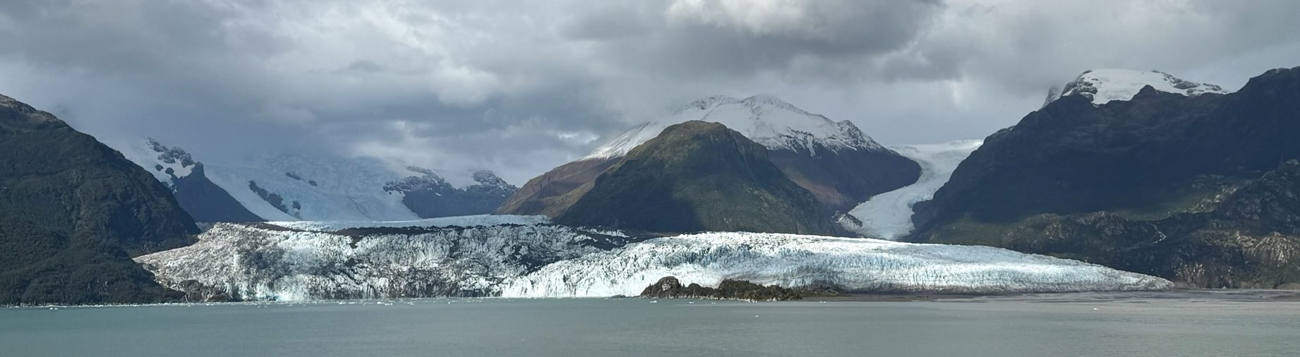
We rode through Crumpler and a shady, windy road dotted with rental cabins. It’s known for its healing springs, which are common in this area. Passing lots of farm country, we tried to guess the crops. I’m only good for identifying corn and tobacco, but they also grow melons, potatoes, and much more. Christmas tree farming has also helped the area economically. I can also recognize those!


Around Eunice, the grass is as tall as the grazing goats, and in Piney Creek, the Meeting House looks like it anchors the community. Sparta is the big city here, and as the Alleghany County seat is where you can find a gas station or a Hardee’s for a well-deserved milkshake.


A church and free sharing box in Grassy Creek.
There was a big stink around the ironically named Glade Valley due to a large cattle concern. I’m not sure what type of business it is, but I sure wouldn’t want to live in the surrounding homes, downwind.
We went as far as Roaring Gap, where years ago we played a very pleasant round of golf (with some good friends) at the Olde Beau Golf Club. The Club is named for the owner’s dog, who is actually buried behind the green of the 15th hole.

It was time to head back home to the High Country of Avery County.
Directions: To get to Grassy Creek and The Old Store, you can take 194 until it merges with 221 or 221 all the way out of Boone, and turn north on 16. Put the address in your GPS to make sure you find it. 710 Grassy Creek Road. You will wind in and out of Virginia, so don’t be surprised.
Of note: This is the first time I ever had ChatGPT design a driving itinerary for us. I instructed them to do it a variety of ways, and it all looked pretty organized until we got on the road. The order wasn’t really logical. They didn’t take into account some of the back roads, and AI was unaware that parts of the Blue Ridge Parkway were not open due to storm repairs. We were soon back to reading a real map, using GPS, and talking to real people.


We have arrived at our last of the Mighty 5 National Parks. Zion. From everywhere we looked down in Bryce Canyon, we are now looking up. Zion soars, it’s much warmer here.

Because this is the park closest to Las Vegas, the crowds are larger here. Traversing through the Mount Carmel Tunnel was interesting. The striking cutouts exposing the gorgeous scenery not only provided a good release value for inter-tunnel gases but a welcome relief for the claustrophobic.


Unlike Bryce Canyon, water is what has carved this beautiful land. From sandstone formations on the valley floor, we headed through the Virgin Canyon Gorge. The Virgin River has been a key to this environment, and the tall fir and Ponderosa Pines provide welcome splashes of deep green.
Highway 9, the Zion Mount Carmel Highway, led us by the White Cliffs, Checkerboard Mesa, and to the Kolob Terrace and Hurricane Cliffs.

We also visited the Zion Human History Museum for some great exhibits about human interaction with the geology, water, plants, and animals of the area.

Homeward Bound
From Zion, we headed to Springdale for a great Mexican meal at The Whiptail. Then on Interstate 15 to our final destination in Las Vegas, passing through a corner of Arizona, and the Basin & Range flatlands en route. Before heading home, we had one night in hot Vegas (116 on arrival). Nothing was happening at the Sphere during our brief stay, but if you love magic like we do, the Mat Franco show (at LINQ) was really worth seeing.


I have decided that Bryce Canyon deserves a dedicated post. It was our favorite of the trip. So incredibly spectacular that it’s hard to describe. Mark, our guide, said we had to get in the Park really early. Eating breakfast at 6:30 AM, we were questioning that decision, but it was spot-on.


As we left the hotel, we could still see some smoke in the air from a nearby wildfire the day before. It created a slight haze in one direction. Very few other visitors were around when we entered the Park. It was cool enough for a sweater as we walked along a pretty forested path. And then – wow, we faced one of the most incredible sights I have ever seen. It was breathtaking. And the play of the morning light made the tops of some hoodoos look magically translucent.


Hoodoo Basics
Cliffs erode, creating narrow rock walls called fins, and eventually the fins crack enough to create windows like those at Arches National Park. After a few million more years, the tops of the arches collapse, creating hoodoos.
The Park is just over 9,000’ at its highest, and its snow/ice, freezing/warm temperatures have created its tens of thousands of hoodoos—the world’s biggest collection. The plateau cliffs recede about a foot every 50-60 years, and you can see evidence of Park fencing moved back and trees hanging over the edge.


Best Story of the Mighty 5
Ebenezer Bryce converted to Mormonism and moved to Utah in 1850. At just 18 years of age, he began a church-directed life as a serial homesteader helping settle new communities throughout Utah and Arizona. He is credited with discovering the canyon while searching for a lost cow. He is famously known to have said it was “A hell of a place to lose a cow.” For four years, he lived in the area and built a road into the canyon to harvest timber. Locals called it Bryce’s Canyon, and the name was immortalized in 1928 when the National Park was established.


This is one place I wish I had been able to hike. I would love to have the experience of being at the bottom of the towering formations. There are numerous trails in Bryce Canyon, and we spotted distant hikers moving around way below us. Climbing back up would be quite a challenge.


BTW, for those interested, Bryce Canyon had the best gift shop of any of the Mighty 5 Gift Shops we visited.
If you’d like to see more posts about our visit to the Mighty 5, check these out: Capitol Reef, Arches & Canyonlands


This morning, we packed up and headed southwest towards Capitol Reef National Park. Capitol Reef is a Waterpocket Fold – an actual wrinkle in the earth. Extending almost 100 miles, it took millions of years to form. The shaping, lifting, twisting, and erosion has left us with an amazing array of vistas. Cliffs, domes, arches, and canyons all displayed in a wide-ranging palette of colors and hues only nature can create. Some early visitors thought one of the domes resembled the U.S. Capitol, thus the name.
The big excitement for me this day, was finding out I was going to see petroglyphs. I knew there were others in Utah, but they were farther north and out of the range of this trip. So for me, this was a real bonus.


These rock carvings date from <300-1300 and are believed to be from the ancestors of the Hopi, Zuni, and Paiute tribes. They represent journeys, deities, animals, maps, clan symbols, and calendars. The culture seems to have vanished after 1300. The petroglyphs were hard to distinguish at first. I’m glad we had a guide to help us figure out where they were on the very large rugged cliff wall. (Based on the appearance of some of the figures I’m sure some attention-seeking wackos will claim they are proof of aliens).


We left Capitol Reef, enjoyed a delicious lunch in Torrey, and took the wonderful All American Highway 12 through the Grand Staircase-Escalante National Monument. It was a beautiful drive and I was happy to be a passenger for the ride and not the driver. Of note, we also traveled through the Dixie National Forest, which got it’s name from its warmer climate, the Mormon effort to grow cotton, and early Southern settlers.
Utah is a major dinosaur fossil and bone discovery area. At least six new horned dinosaur species have been found within the National Monument. The head of the one shown below was the first to be discovered, and is named Utahceratops Gettyi, after the field paleontologist who found and collected it.


At the end of a long day, we arrived in Bryce Canyon City. Before we turned in for the night, we enjoyed dinner and a show at Ebenezer’s Barn & Grill. This was another big surprise. The food was good (I had excellent salmon) and the country show, featuring the Bryce City Wranglers, Nashville-worthy. It’s a perfect mid-way stopping point on a tour of the Mighty 5.


If you enjoyed this post, you might like to check out more of the Mighty 5: Arches & Canyonlands


")
")
")

")


